Maps :
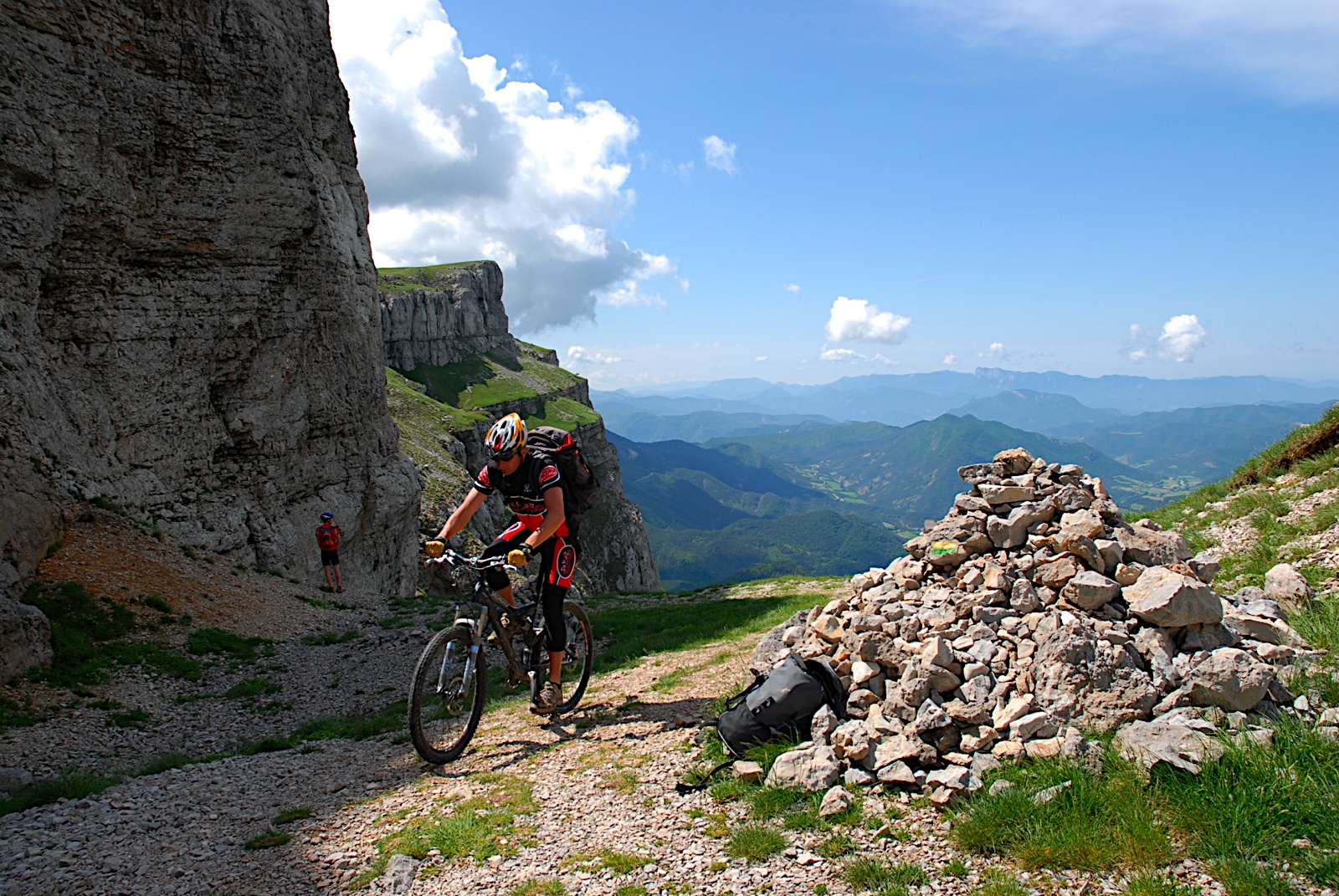
* THE ‘VTT ROYANS-VERCORS’ MOUNTAIN BIKING GUIDE: map of mountain biking routes and marked trails: 6 starting points, 29 described trails of varying levels of difficulty, 400 km of marked routes.
Scale 1/40.000th. (Mountain biking and hiking FFCT centre). Available for € 4.
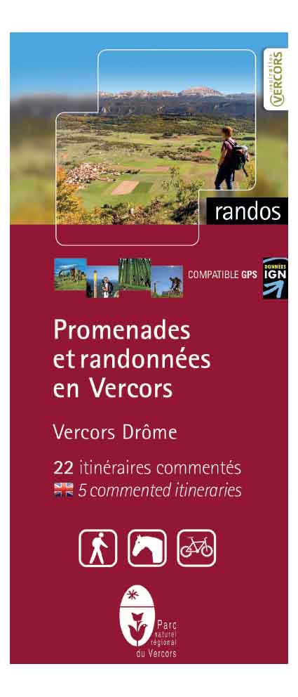
*THE MAPS GUIDES "Promenades et randonnées" (Rambles and hikes in Vercors Drôme or in Royans Gervanne) is published by Vercors Regional Nature Park. Here you will find a map and description of routes around Vercors-Drome or around Royans Gervanne, specifying the time it takes, height gain and grade for each one. This document is just as useful for mountain biking and horse riding as it is for hiking. Available for € 8.
* The GTV (Grande traversée du Vercors) MOUNTAIN BIKING GUIDE : touring route through Le Vercors and the option to cross the ‘Hauts Plateaux’ created by Vercors Regional Nature Park and the association of GTV professionals: over 300 km of routes. Guide contains 12 fact sheets and a pamphlet. Available for € 13.10 -
> more informations : http://www.vercors-gtv.com

VTT Biking guide
Map Guide Vercors-Drôme