Le Vercors
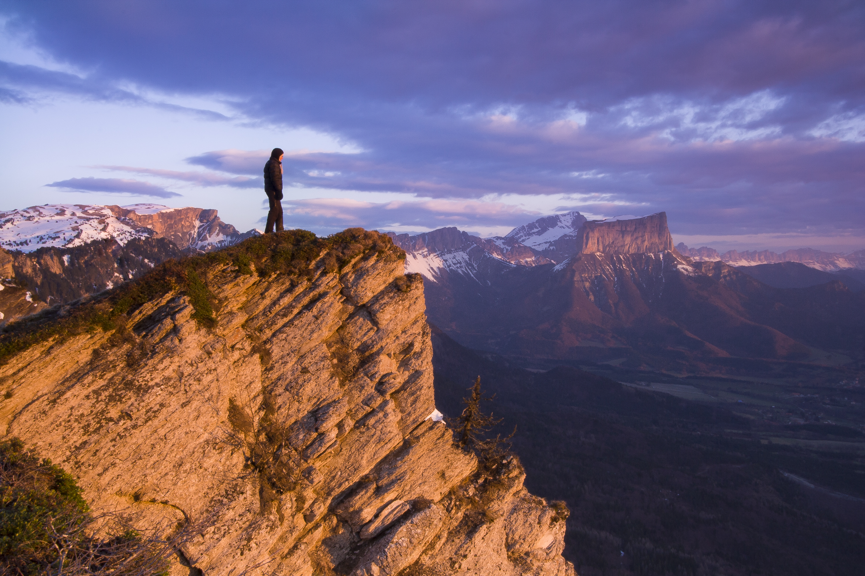
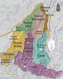
The Vercors stands at the outpost of the French Alps. A few passes and deep caves, both providing access to a range of varied landscapes where untouched and developed areas are combined, sculpted by generations of farmers, pastoralists and foresters.
It was with the aim of reconciling natural and cultural heritage with economical development that the Vercors was classified as a 'Regional Natural Park' in 1970. The Park is involved in the managment of natural areas, animals, agriculture, tourism, local workshops …. The Vercors Park covers 205,000ha and 85 municipalities.
> Go to the Parc Naturel régional du Vercors website.
La Réserve naturelle des Hauts Plateaux
"The High Plateaus Natural Reserve"
Created in 1985, the 17,000-hectare Vercors High Plateaus Natural Reserve remains the largest land-based metropolitan reserve in France to this day. It is the wild heart of the Vercors, where there are no roads or permanent homes.
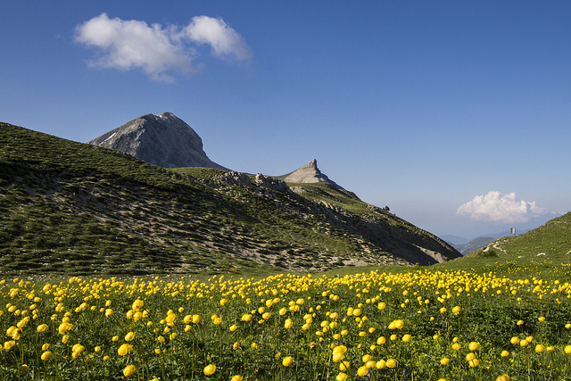
Located at the foot of Grand Veymont (the highest point in the Vercors at 2,341 m), it is home to many remarkable species. Marmots, black grouse (the Park’s symbol along with a wild tulip) and golden eagles can all be found here. It is also a place of scientific interest.
Look through the Vercors High Plateaus Natural Reserve brochure and read the rules.
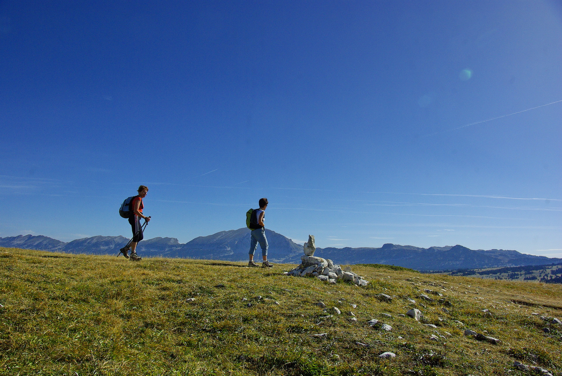
GR91 and GR93 as well as GTV routes enable you to cross the Natural Reserve, a paradise for hikers, from east to west and from north to south. Please note that access to water is infrequent, especially in mid-summer when the springs can dry up. Unmanned shelters (without water or electricity) are available (bunks, wooden stoves...)
Two IGN maps (1/25.000) are needed to cross the Natural Reserve, unmanned shelters and springs are indicated :
- « Villard de Lans – Mont Aiguille » - TOP 25-3236 OT
- « Glandasse – Col de la Croix Haute » - TOP 25-3237 OT
